

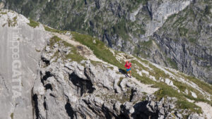
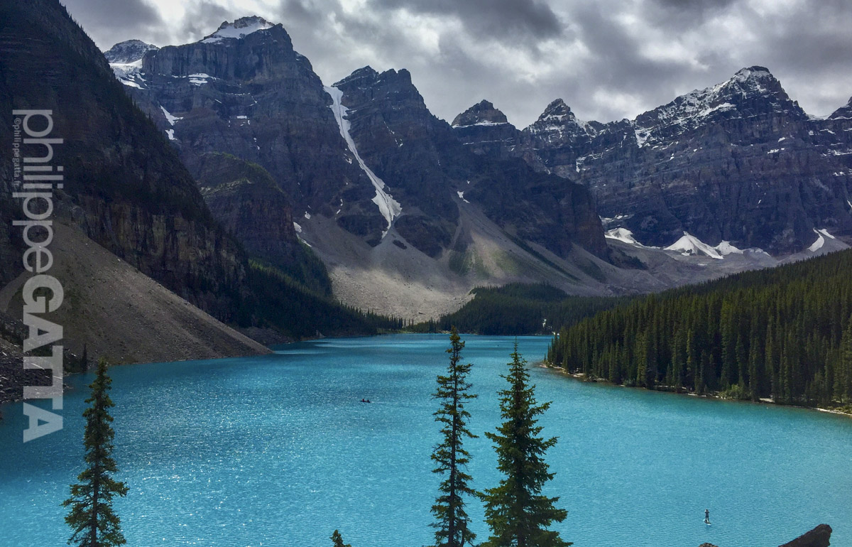
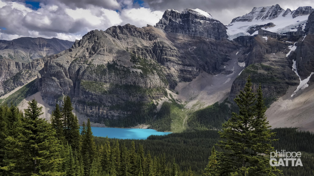
Great Divide Trail (GDT), Canada
300 Km and 11 000m
The Great Divide Trail
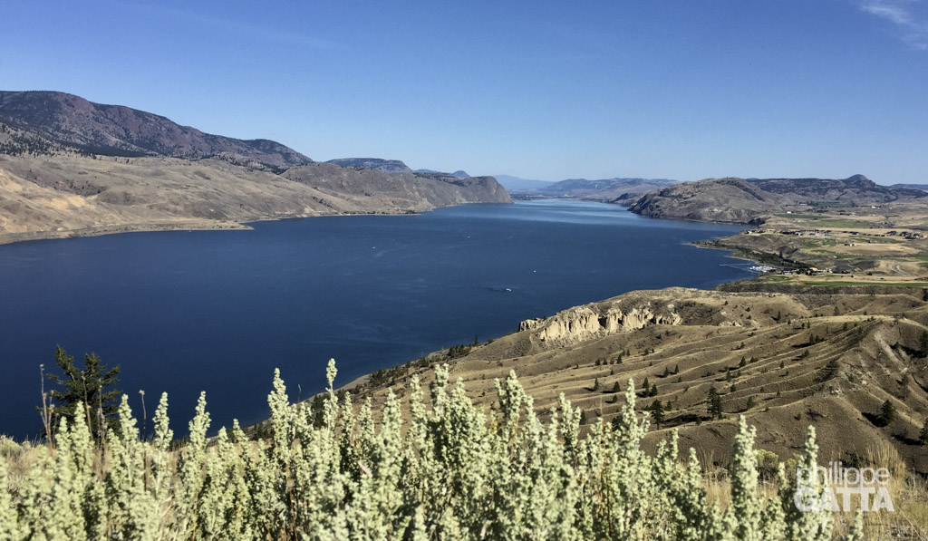
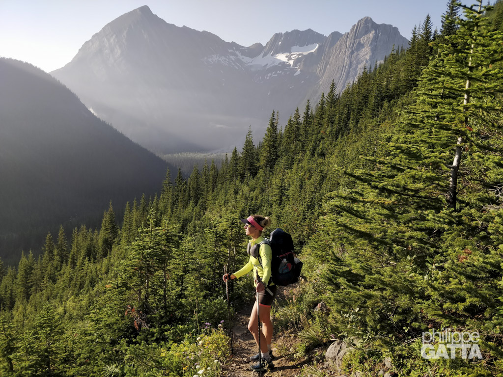
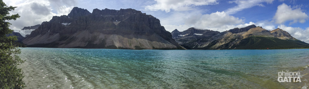
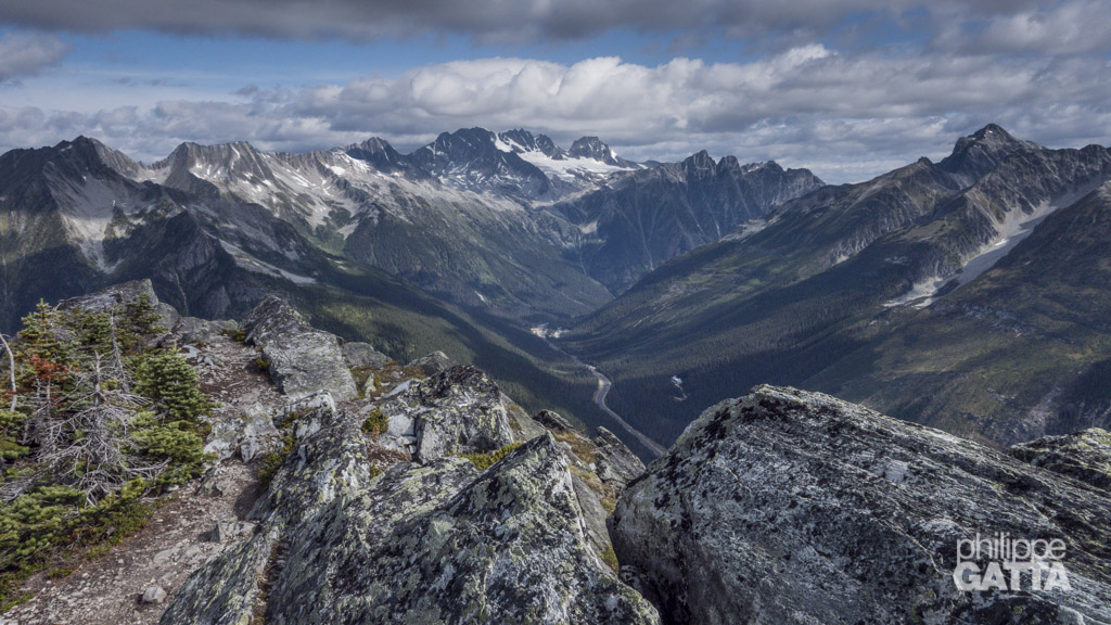
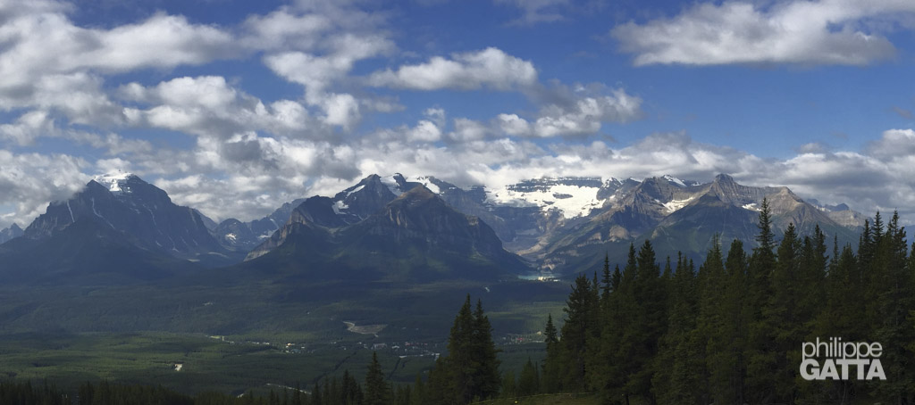
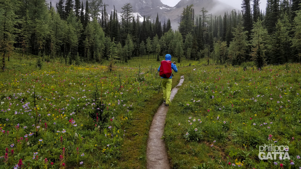
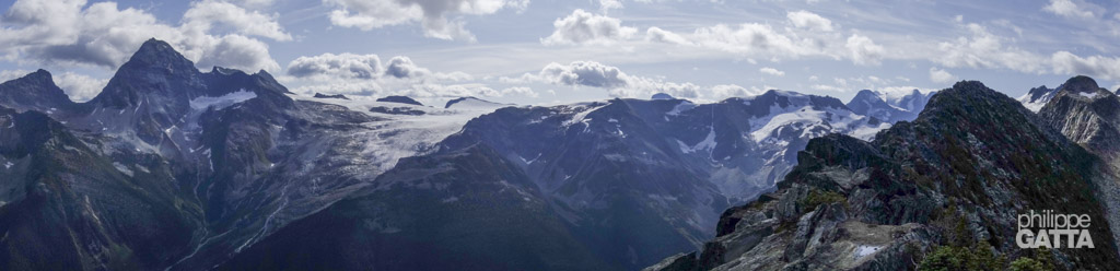
The Great Divide Trail (GDT) is a wilderness trail along the Canadian Rocky Mountains. It follows the continental divide between Alberta and British Columbia for more than 1100 kilometers.
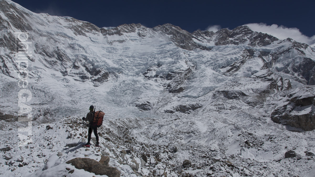
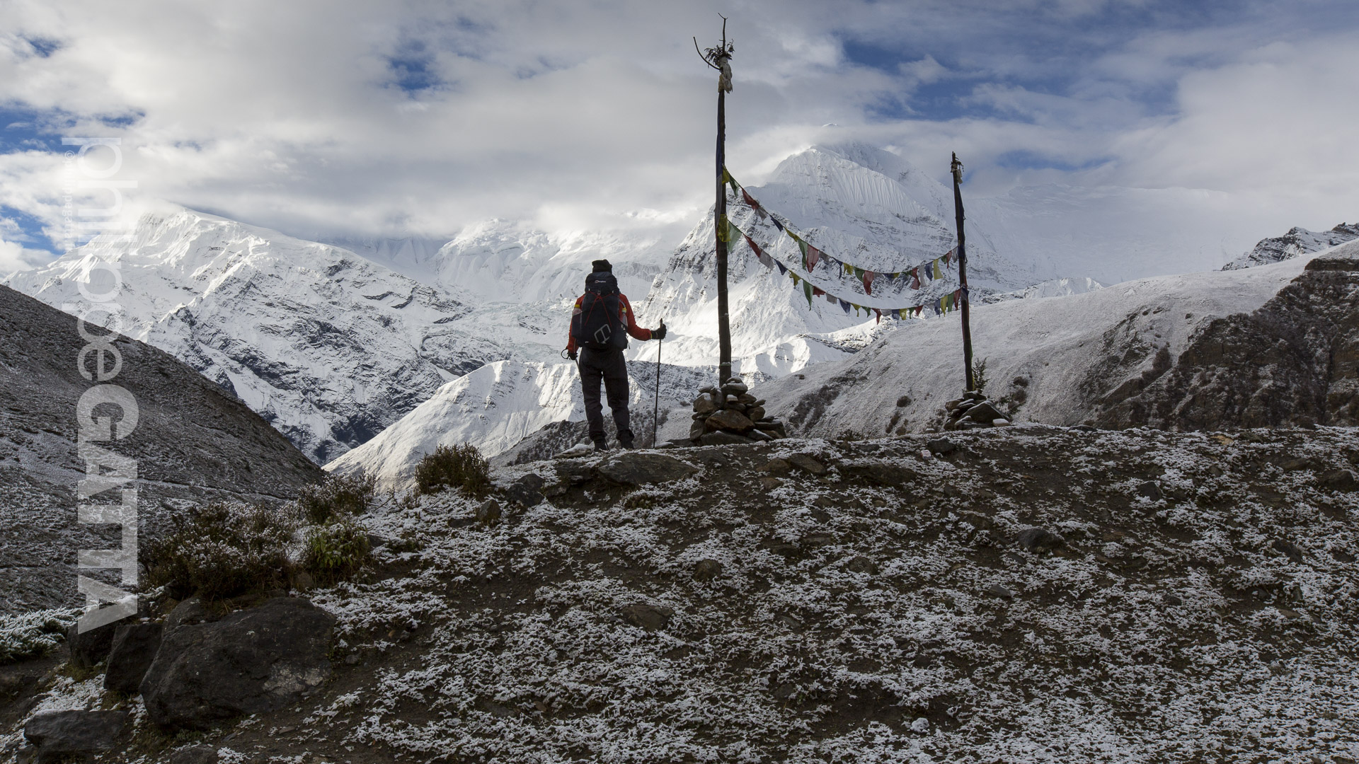
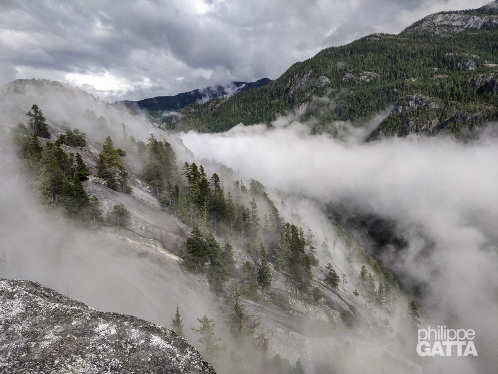
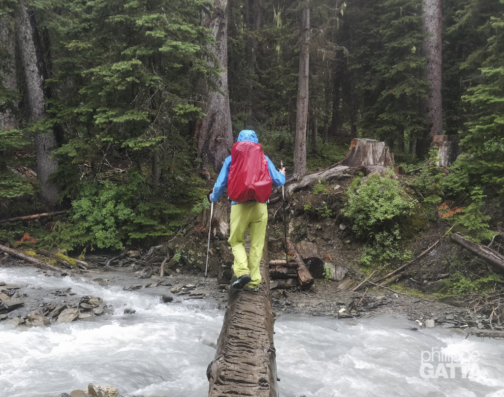
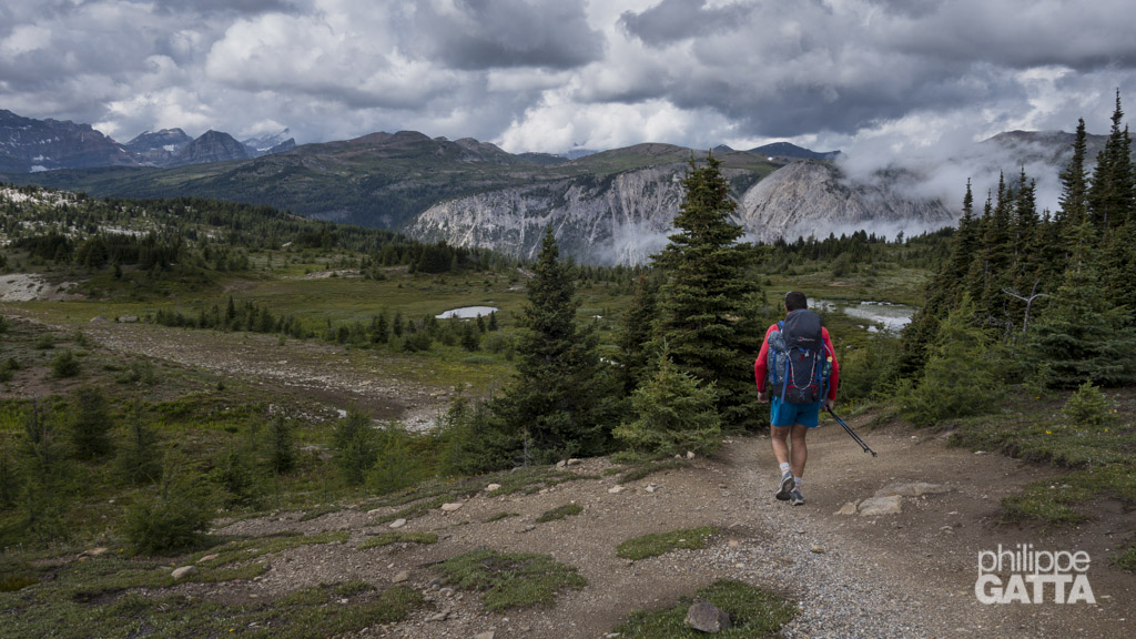
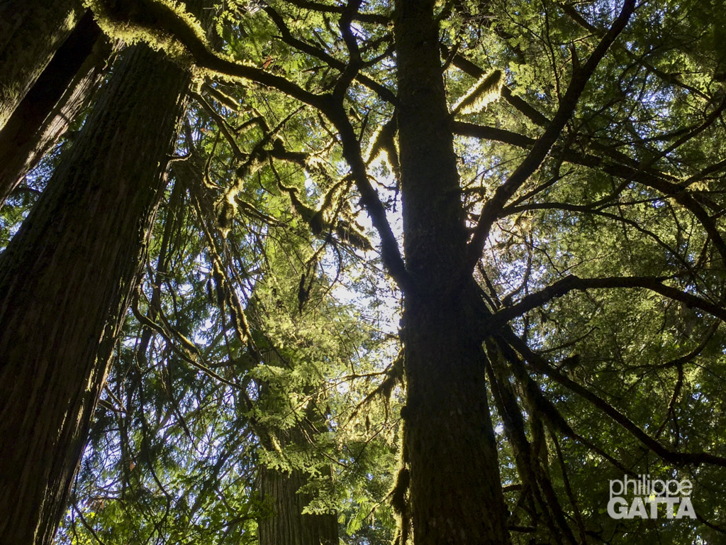
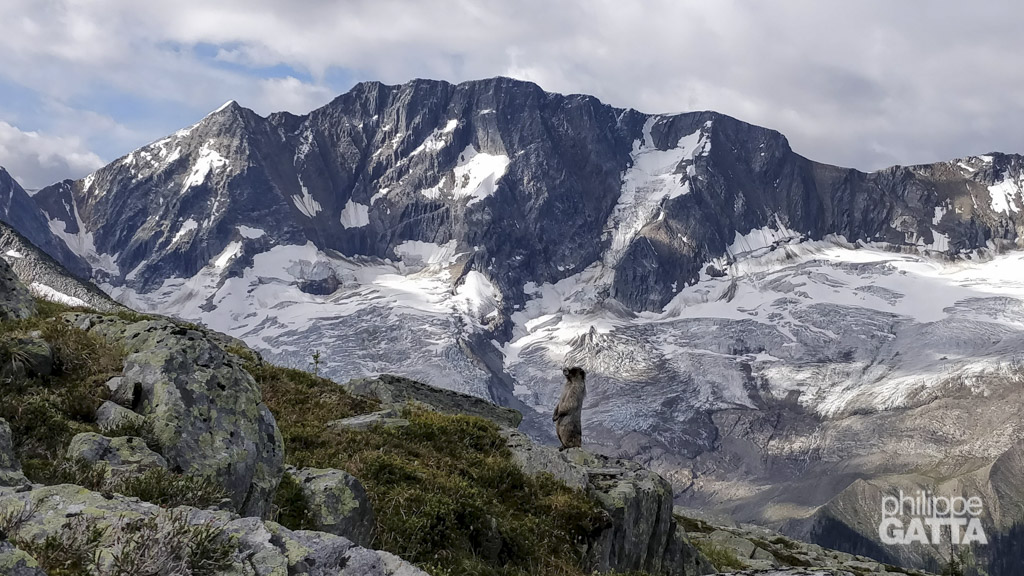
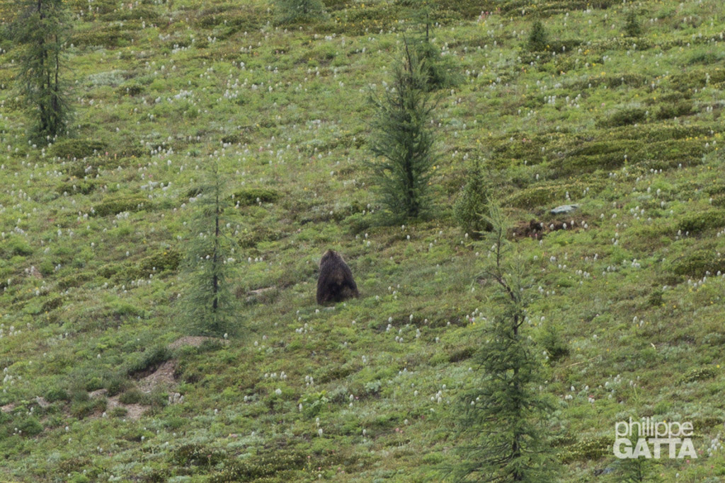
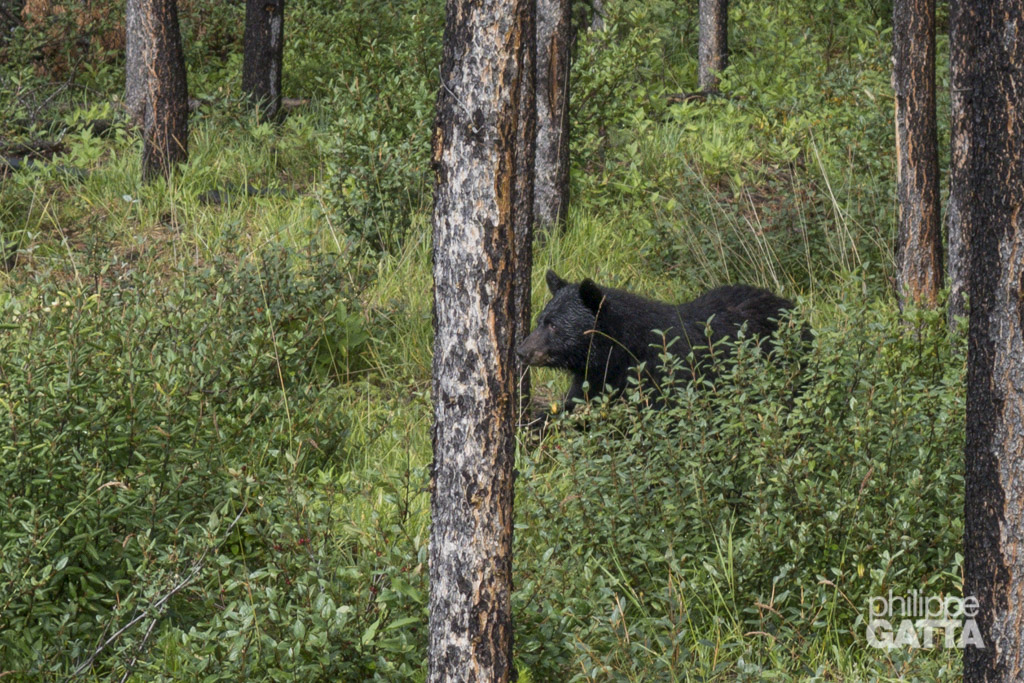
Unlike some other traverses, like the Via Alpina, Tour du Mont Blanc or GR5, the GDT is not officially designated and it is often a wilderness route rather than an actual trail. Especially some sections are extremely remote, with dangerous wildlife (bears, wolves) and very challenging conditions (flooding, wildfires, bush, mud…).
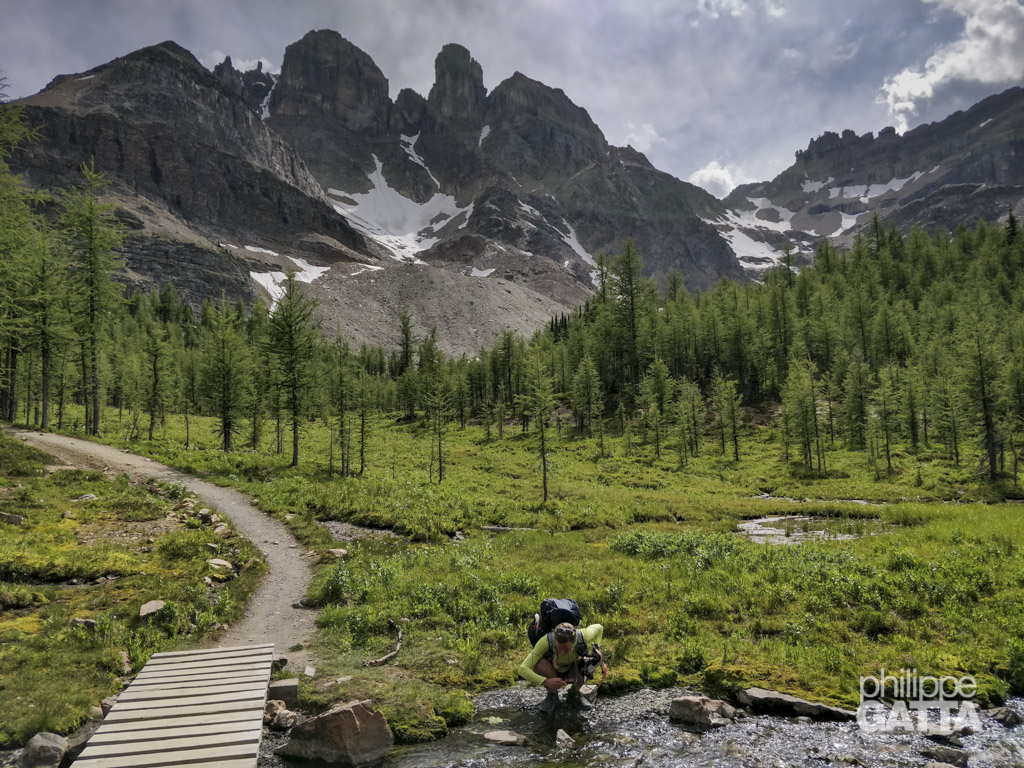
Furthermore, As the trail is not maintained or marked, navigation and autonomy add more challenges.
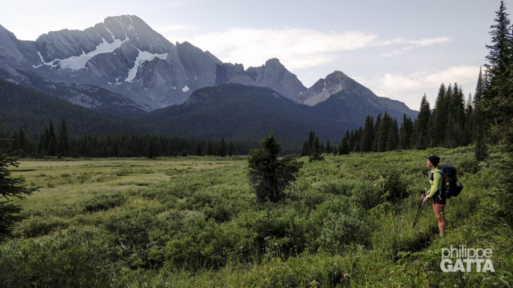
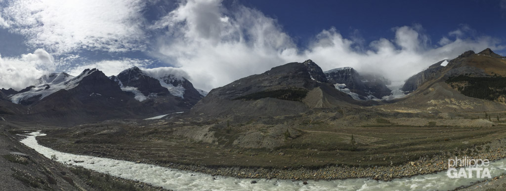
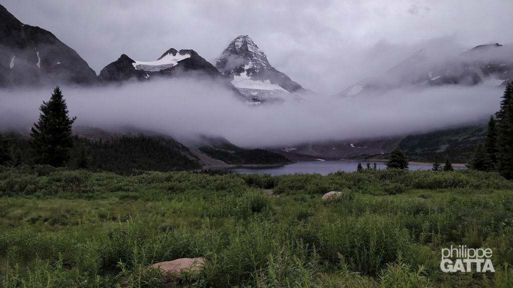
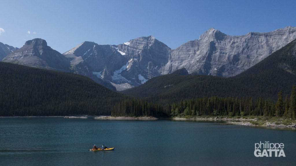
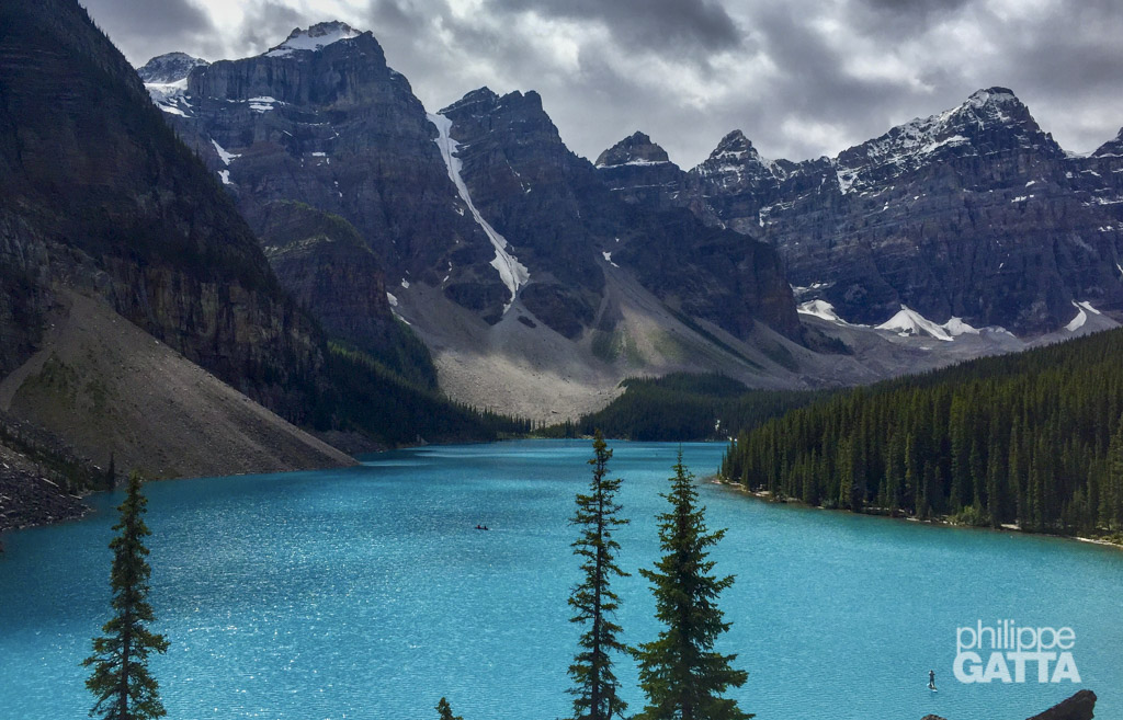
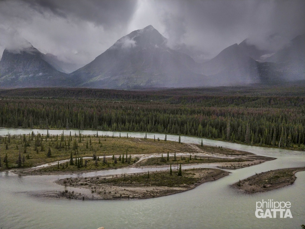
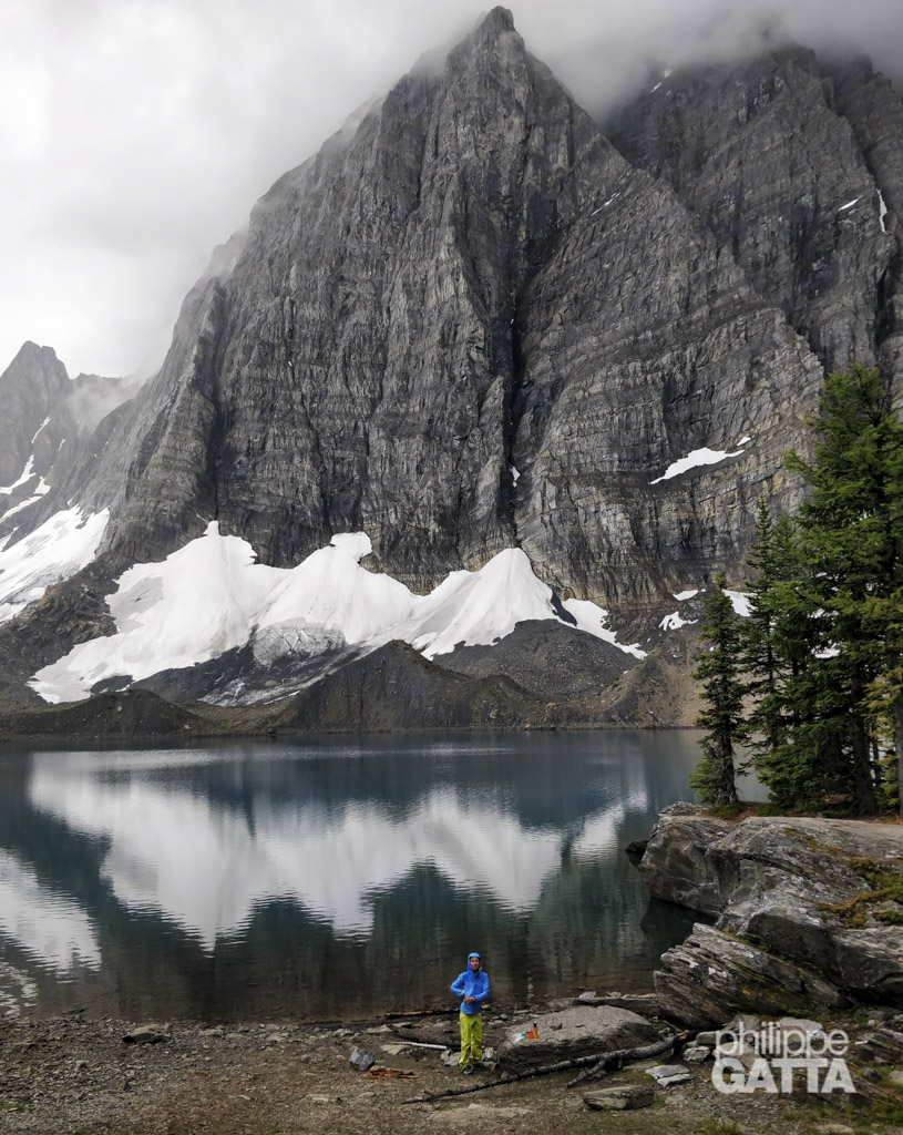
The Great Divide Trail passes through five National Parks: Waterton Lakes, Banff, Kootenay, Yoho and Jasper. To some extend, crossing the parks add more complexity to the logistics as wild camping is forbidden and spots in authorized camping are very limited and booked months in advance. That has been a major issue as once on the trail it is not possible to change the plan because of weather or fatigue.
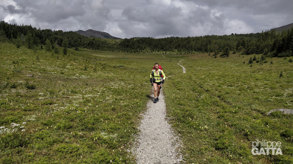
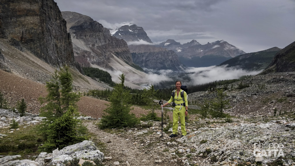
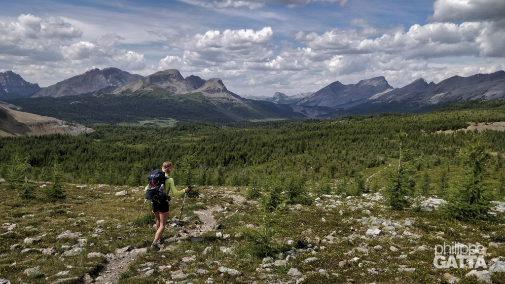
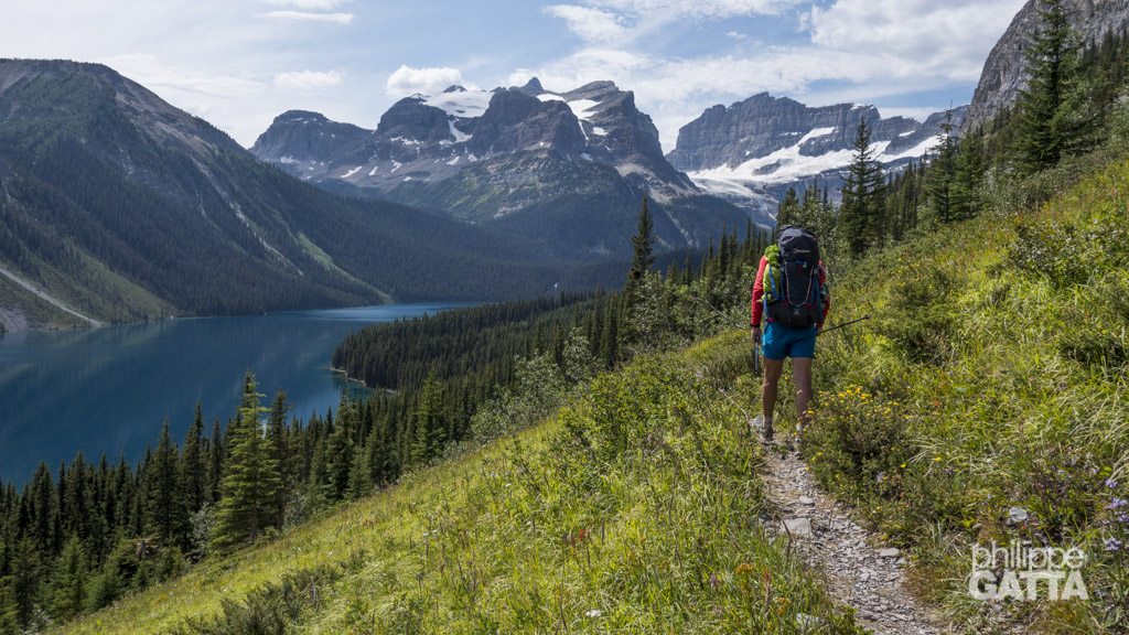
Anna and Philippe planned to run from Peter Lougheed Visitor Centre to Mt Robson, so approximately 600 km and +22 000m in 15 days. That made an average of 40 km per day with enough food and gear to be sufficient between the resupply points.
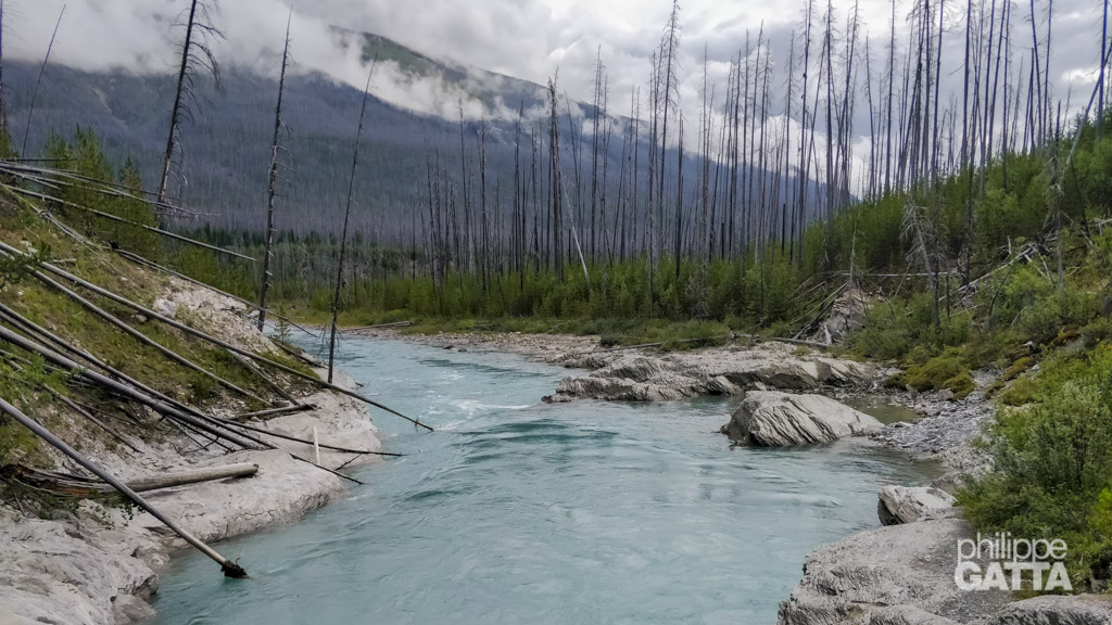
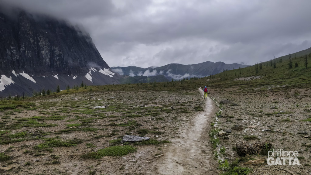
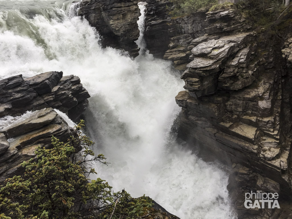
As often in Canada, the weather has been challenging with lots of rain and mud which made the progression slower than expected. About half way, Anna got injured and they stopped two days at Field (close to Banff National Park). Then they reached Saskatchewan River Crossing but got stuck by a snow storm which made it impossible to cross the wild areas toward Jasper.
They were a few days behind schedule and unfortunately the Park didn’t let them change the booking and authorizations so they couldn’t continue toward the North. To keep running and visiting, they changed their plans and made multiples day runs along the way to finally reach Mt Robson.


