
Via Alpina - Traverse of the Alps
1,000 km and +45,000 m, 7 countries
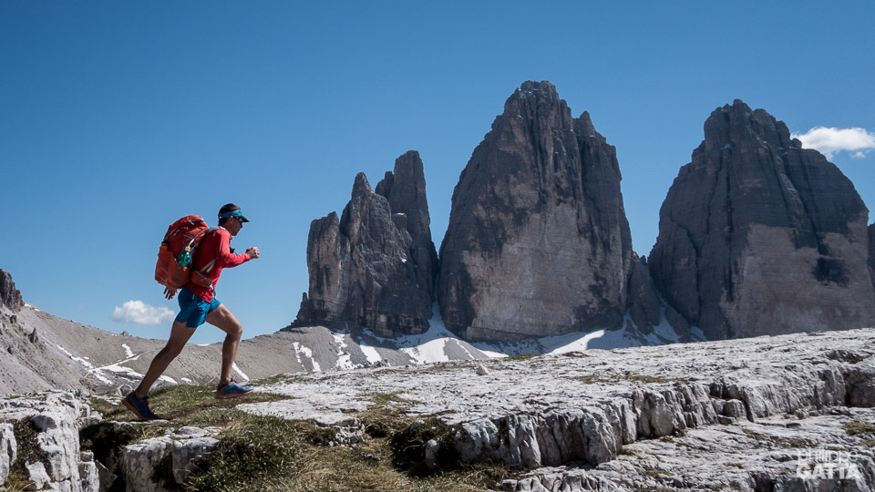
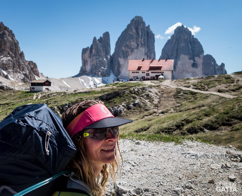
Via Alpina, Tre Cime di Lavaredo, Dolomites, Italy (© A. Gatta)
Via Alpina - Traverse of the Alps
The Via Alpina is a network of five walking trails across eight European countries. These five trails cover a total of 5,000 km across the Alps, offering stunning views and a large variety of landscape in a very rich cultural environment.After their traverse of Nepal along the Great Himalayan Trail (GHT) in 2013, Anna and Philippe were looking for a similar challenge. Excited to discover seven European countries, they made up their own connection of trails among hundreds of possibilities with a few priorities in mind: less than 30 days, around 1,000 km in distance and the discovery of some of the most beautiful parks of the Alps.
Wishing to run across the Triglav, Dolomites, Tyrol, la Bavaria, Interlaken..., they decided to follow a combination of the red and green Trail of the Via Alpina. To limit the overall distance to 1,000 km, they decided to start in the Triglav National Park (Slovenia) and finish in Chamonix (France). From the Triglav, they followed the Red Trail across Italy, Austria, Germany to Lichtenstein. From there, they switched to the Green trail to Lenk in Switzerland. After Lenk, they made their own trail to Chamonix, France.
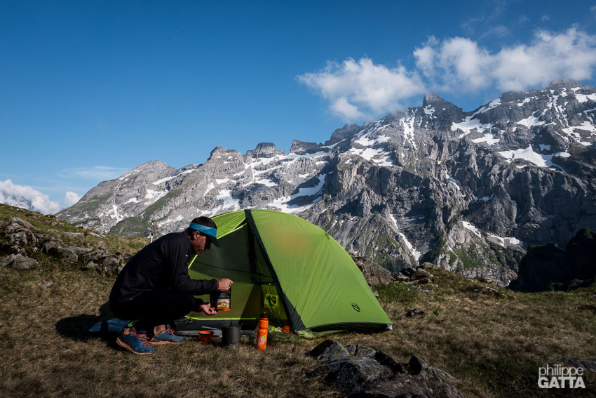
They decided to travel light, carrying only the minimum required to be self-sufficient for 5-6 days. They carried their clothes, sleeping bag, ultra-light tent, stove and food. They bought some food in the villages and sometimes in the hut and spent a few nights in camping where they shipped some supplies in advance.
From the Trigalv to Chamonix in 25 days
Day 1-5: Triglav (Slovenia) - Filmoorhütte (Austria): 190 km and +11,400 m
We started our traverse at Koca Na Gozdu mountain hut, below the Vrsic pass in the Triglav National Park (Slovenia). The rugged peaks of Triglav offers great scenery and we could have spent more time there, it is worth starting the journey further South to completely cross the park.
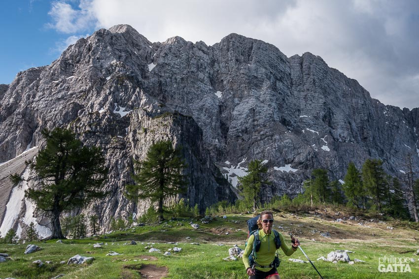
Anna in the Triglav National Park, Slovenia (© P. Gatta)
After Zollnersee Hütte, Austria (© P. Gatta)
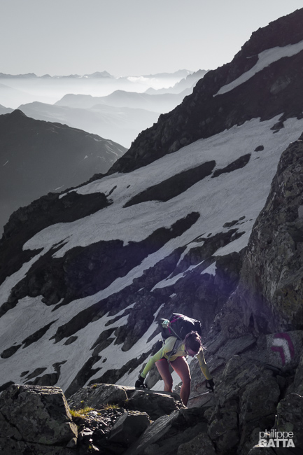
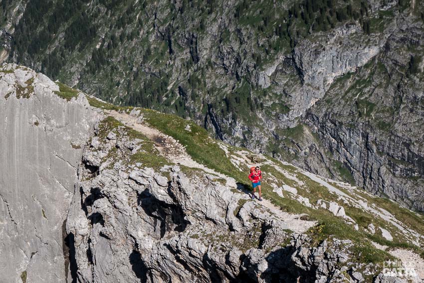
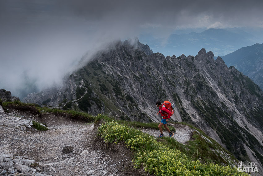
Technical trail on the ridge after Filmoorhütte, Austria (© P. Gatta)
Day 6-8: Filmoorhütte (Austria) - Lago di Neves (Italy): 110 km and +5,700 m
Once again the trail after Filmoorhütte is technical and it is possible to skip Sillianer Hütte to take a trail more pleasant crossing the lovely mountain pastures and going straight to Moos. The village of Moos (a few kilometers South of Sexten) marked the end of 4 days spent on the border ridge mainly above 2,000 m.
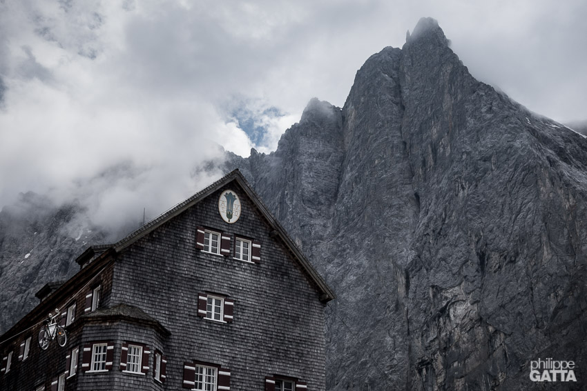
Refugio Locatelli and Tre Cime di Lavaredo, Italy (© P. Gatta)
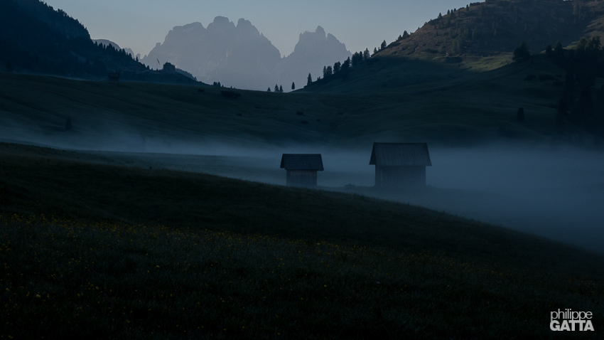
Sunrise in the Dolomites, Italy (© P. Gatta)
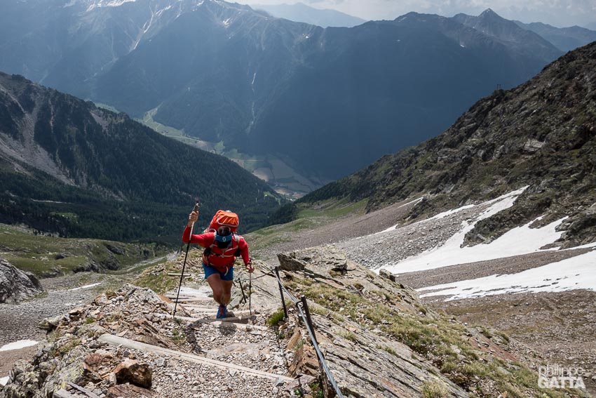
Climbing toward Rieserfernerhütte, South Tyrol, Italy (© A. Gatta)
Looking at Lago di Neves from Edelrauthütte, South Tyrol, Italy (© P. Gatta)
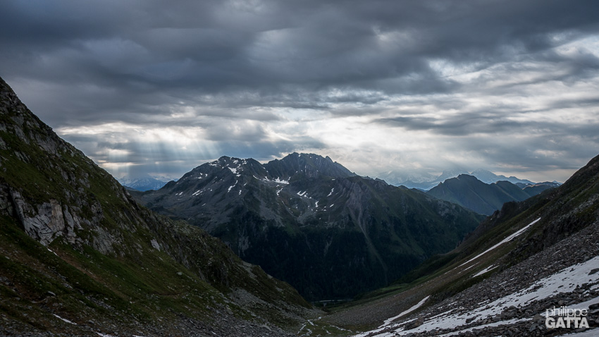
Day 9-14: Lago di Neves (Italy) - Biberwier (Austria): 200 km and +9,000 m
After a night spent in a barn sleeping above the cows, we started our trail toward Pfitscherjoch Haus under a cloudy sky. The weather became worse and we crossed the Gliderscharte pass (2,644m) in a storm with less than 50m visibility (thanks to the GPS). We finally reached the Passo di Vizze hut completely wet. The following day the weather slightly improved and we could enjoy the scenery of the valley going to Mayrhofen (back in Austria), completing the traverse of the Zillertal Alps.
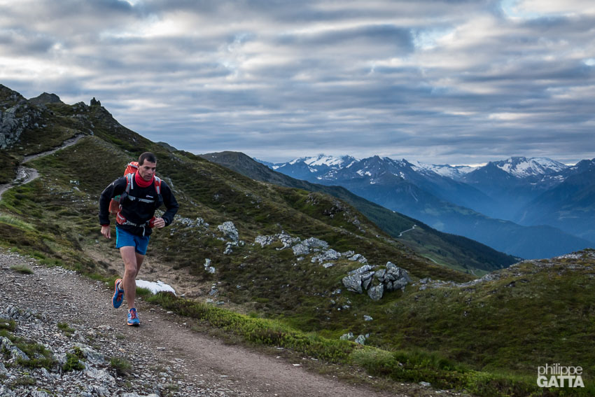
Zillertal Alps in the distance seen from above Rastkogelhütte, Austria (© A. Gatta)
Karwendel, Austria (© P. Gatta)
Falkenhütte and the Laliderer Spitze behind, Karwerndel, Austria (© P. Gatta)
Breath taking descent toward the Reintal valley, Germany (© A. Gatta)
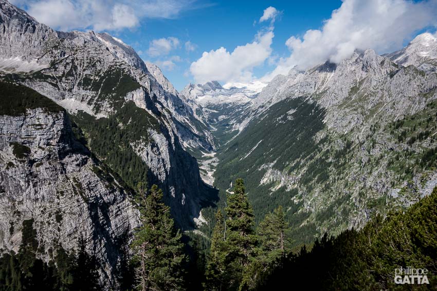
The Reintal valley and the Zugspitze in the background, Germany (© P. Gatta)
Day 15-18: Biberwier (Austria) - Gaflei (Liechtenstein) - Untersass (Switzerland): 140 km and +6,500 m
We took a bus from Biberwier to Weißenbach am Lech as we didn't find this part so interesting. We resumed our trail at Weißenbach am Lech but the following 18 km were not so nice neither (road and dirt track) and could have been skipped too. Once again the rain came and we reached Prinz Luitpoldhaus in pouring rain.
Between Prinz Luitpoldhaus and Oberstdorf, Germany (© P. Gatta)
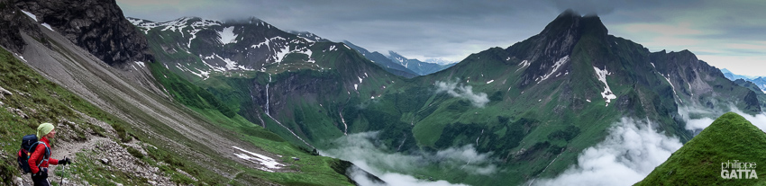
On the way to Hotchtannberg, Germany / Austria border (© P. Gatta)
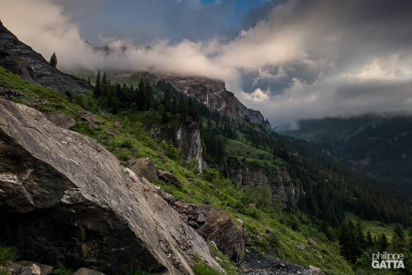
Mountain pastures on the way to Buchboden, Austria (© P. Gatta)
Close to the top of Gafleispitz, Liechtenstein (© A. Gatta)
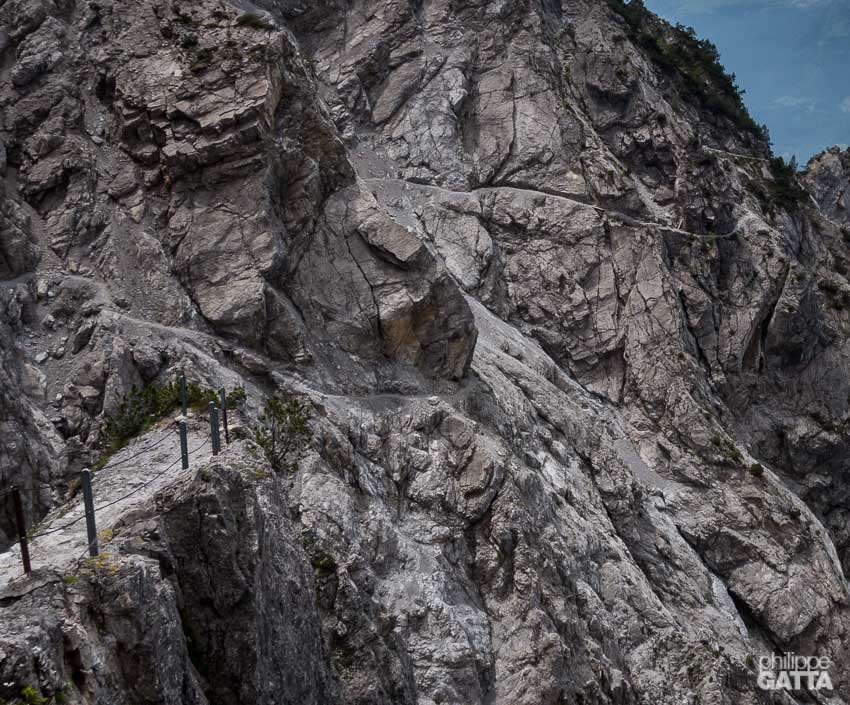
The exposed trail below Alpspitz, Liechtenstein (© P. Gatta)
Above Untersass, Switzerland (© P. Gatta)
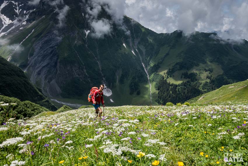
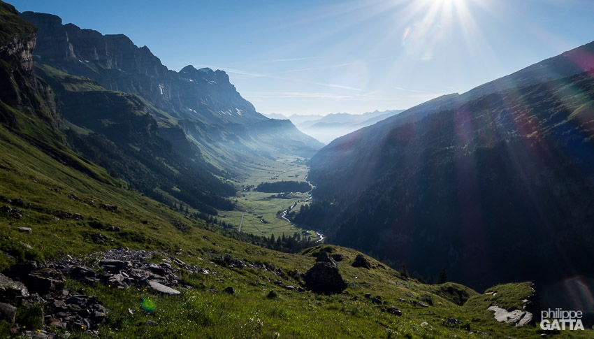
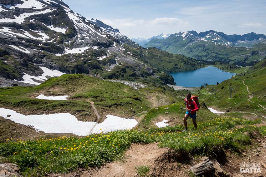
Day 19-25: Untersass (Switzerland) - Chamonix (France): 280 km and +12,700 m
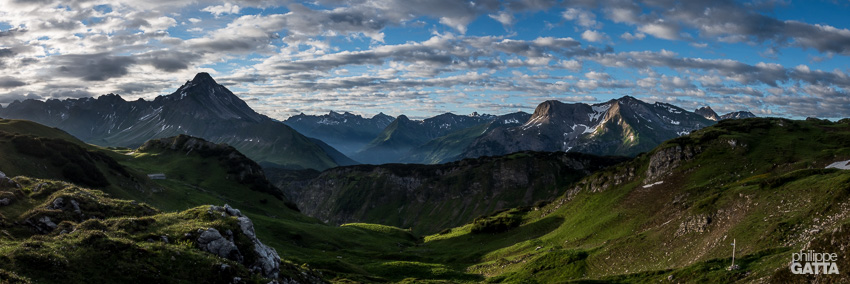
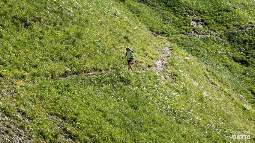
We left Untersass early in the morning in a typical Swiss pasture landscape: perfect green grass, colorful flowers, happy cows, waterfall and perfectly well marked trail.
Peaceful scenery after Richetlipass, Switzerland (© A. Gatta)
Beautiful valley of Urnerboden, Switzerland (© A. Gatta)
Close to Surenenpass, Switzerland (© A. Gatta)
Close to Jochpass, Switzerland (© A. Gatta)
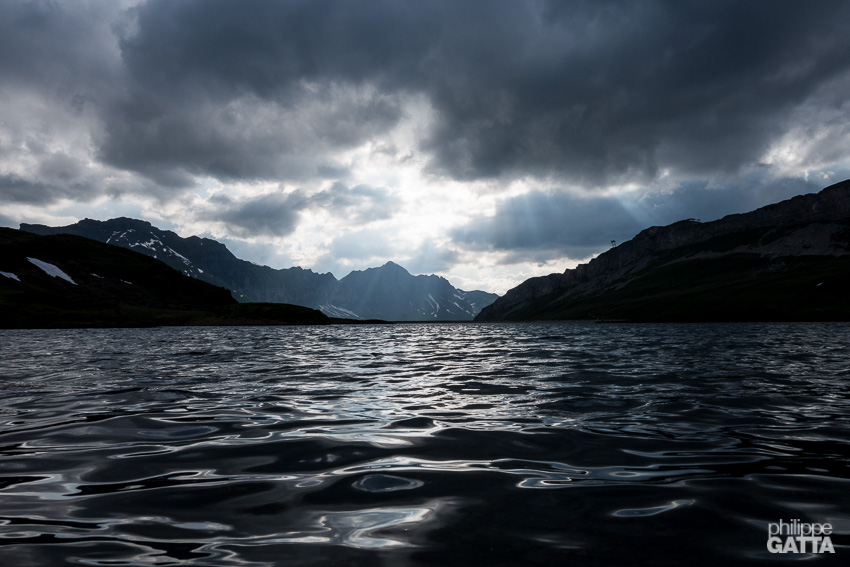
Tannensee, Switzerland (© P. Gatta)
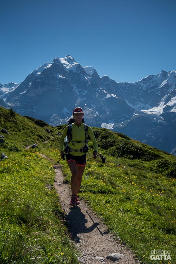
After Mürren, Switzerland (© P. Gatta)
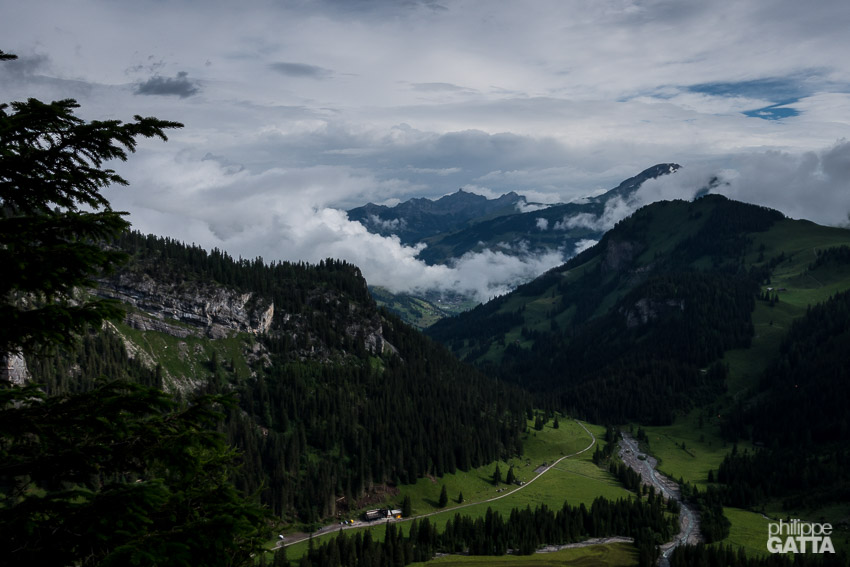
Lenk seen from the trail to Rawilpass, Switzerland (© P. Gatta)
The final stage to Chamonix, France (© P. Gatta)
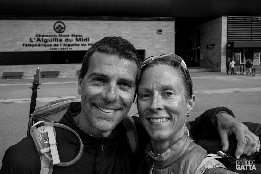
Chamonix, France (© A. Gatta)